Today’s technology allows for more accurate measurements than ever before. Prohit’s metrology experts have extensive experience in this field and use the latest latest technology. Terrestrial laser scanning is a method that enables rapid data collection and documentation of complex industrial environments, old buildings and shelters, among others. and shelters, among others. Again, we work with aerial laser scanning as well as aerial photography, providing a valuable basis for research and design work in the form of highly accurate terrain models. in the form of highly accurate terrain models. Our topographical engineers also carry out high-precision industrial and field measurements using GPS and network RTK or total station. Ocean and seabed mapping is carried out using GPS and dual frequency digital sonar.
GEODETIC SURVEYING SERVICES
Terrestrial, Mobile, Overhead 3D Laser Scanning
3D Laser Scanning, Modeling and Digital Twin Creation
Deformation Measurement Services
Tunnel Clearance and Span Measurement Services
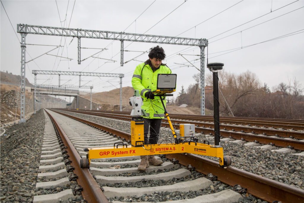
Measurement Services with Trolley on Existing Railway Lines
Zoning Plan Implementation Services
Expropriation Services
Current Map Services
Ecofriendly
Affordable Prices
100% Customer Satisfaction
Expert Staff
Unique Engineering
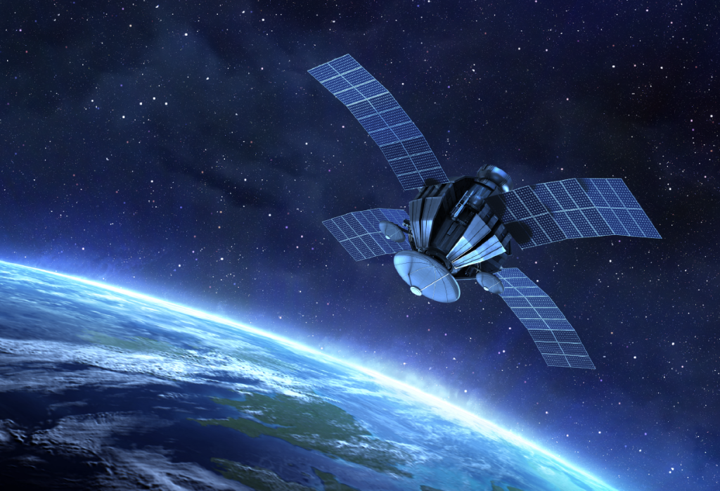
REMOTE SENSING SERVICES
Remote Sensing Services
Faster, Reliable and Low-Cost Projects in Data Generation and Processing
Exploration of Mineral Resources and Tracking of Open Mines
Digital Terrain Model Generation
Investigation of Geological Structures and Determination of Rock Types Services